
Treasure Detector
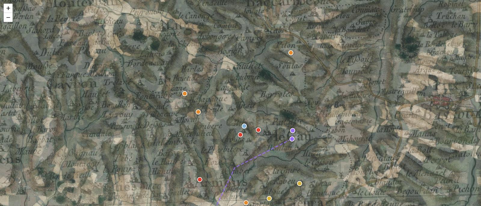
For the commune of Armous-et-Cau, in the Gers, I built a prospecting map for metal detecting. The Cassini map and the État-Major map overlay the satellite view, slider by slider. Eighteen archaeological targets appear on it, each with its reasoning: what it knows, what it assumes. The code is public on GitHub, MIT license.
Cassini over the satellite
Today's satellite view gives way to the Cassini map, surveyed in the 18th century. An opacity slider slides the landscape from one century to the other, over the same terrain.
Comparison
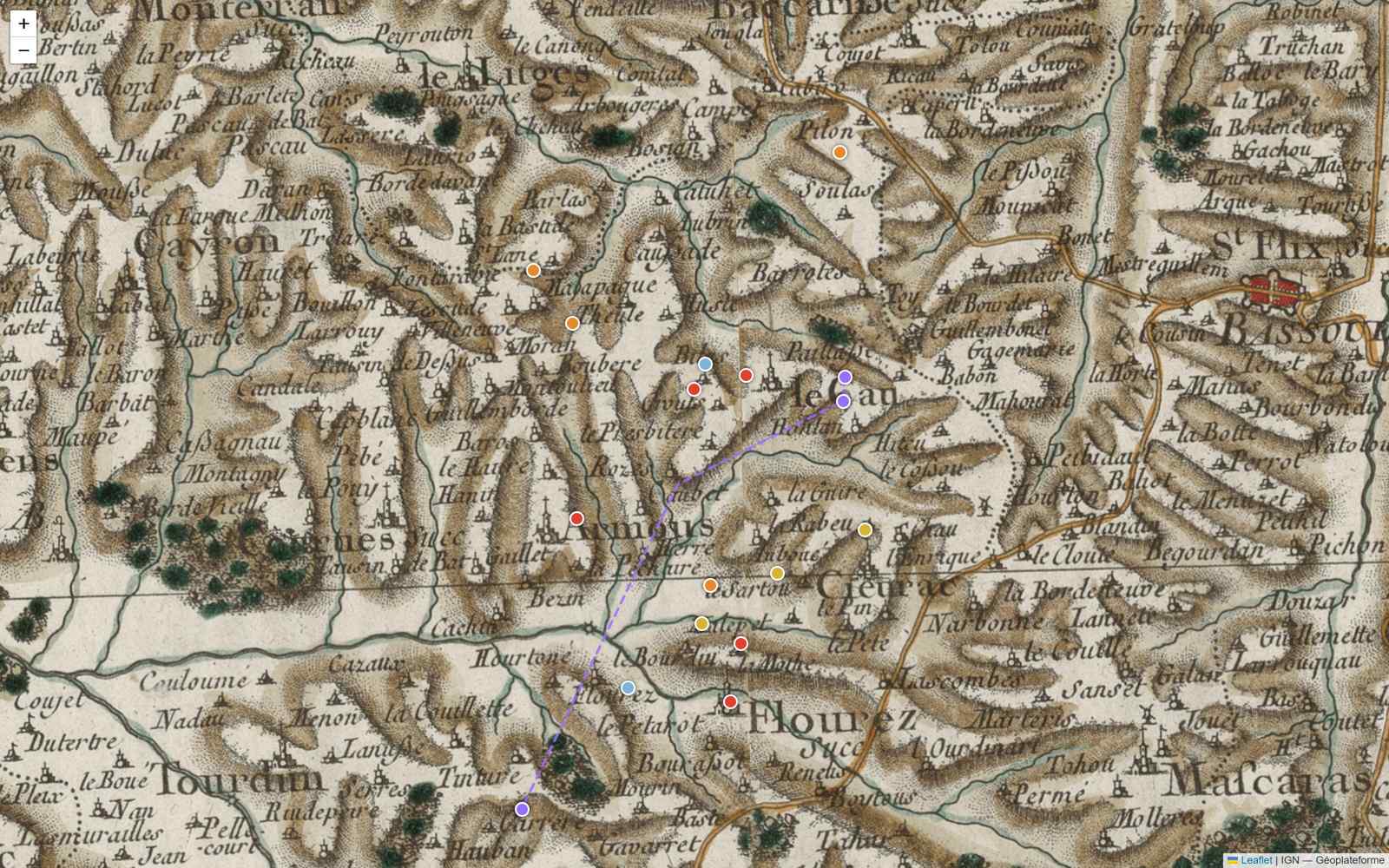
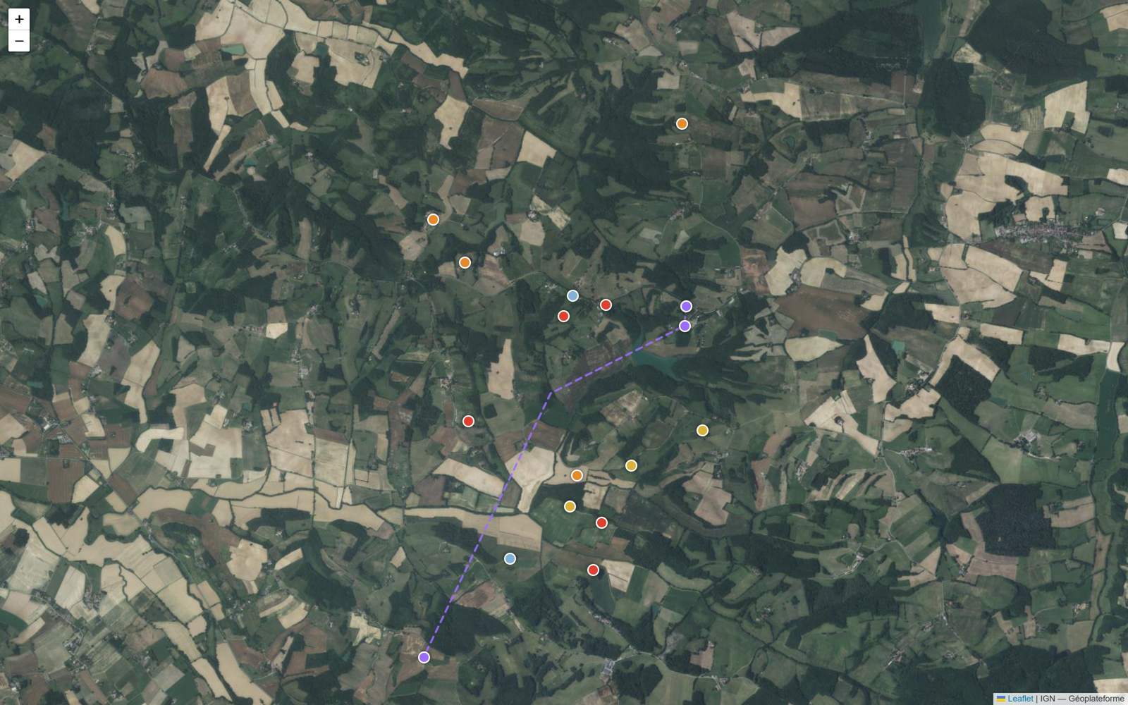 Satellite
Cassini · 18th c.
Drag to slide the landscape from one century to the other, over the same terrain.
The reasoning behind a target
Each target shows its own reasoning. The position comes from the place name and doesn't move; the interpretation remains a deduction, to be checked on site.
Real examples, taken from the eighteen mapped targets.
Major site
Hountan, source of the Midour
Sacred spring · ancient to modern
The Midour (97 km) rises here, confirmed by the SIA Midour and the Larousse. “Hount” means fountain; river springs received offerings in Antiquity.
Gallo-Roman fibulae, denarii, votive pottery, ironwork.
Major site
Lamothe, probable castle motte
Earth castle · medieval (11th-13th c.)
Place name “la mothe”: motte. Probable lordly core.
Feudal coins, ironwork, lead, medieval finds.
Ancient road
Caussade, Gallo-Roman causeway
Paved road · ancient
“Caussade” comes from calciata, the paved road: the most certain etymology in the Gascon corpus. The Impasse de Caussade keeps the name.
Roman coins in circulation, harness fittings, nails.
Fortified
Au Castérot, probable fortified site
Small fort / castet · medieval
“Castérot”: little castle. Three Castérot place names grouped here.
Ironwork, points, coins, lead.
Settlement
Le Bourdiou, old farmstead
Farm / borde · 16th-19th c.
“Bourdiou”: farmstead. Good ratio of time to finds.
Royal coins (doubles tournois, liards), buttons, buckles, dice.
Ancient road to verify
Route de César
Road place name of possible ancient origin
Odonym “Route de César” (BAN): a name traditionally associated with ancient roads. To be checked against Cassini and the État-Major before putting much faith in it.
Lost coins, fittings, road nails, along the edges of the right of way.
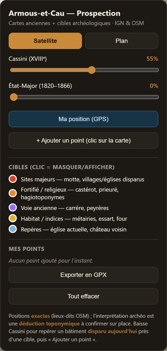
The control panel
The sliders adjust each map, the legend sorts the eighteen targets by nature: major site, ancient road, settlement. You add your own points recorded in the field, and export everything as GPX for a hiking GPS.
An online prototype
The prototype can be visited online, with nothing to install: carto-armous-production.up.railway.app. Maps that can be consulted offline and relief from laser survey remain to be built.
The map really runs: zoom in, click a point to read its card.